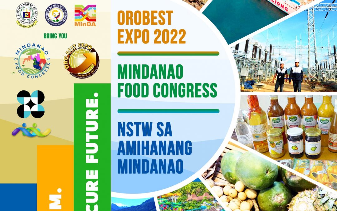
by Oro TIPC | Oct 13, 2022 | Blog
SAVE THE DATES | October 26-30, 2022 The Mindanao Food Congress & Oro Best Expo 2022 and the DOST NSTW sa Amihanang Mindanao are set to draw their curtains open this coming October 26-30. Join us as we empower Mindanao’s agriculture and food supply chain...
by Oro TIPC | May 25, 2021 | Blog
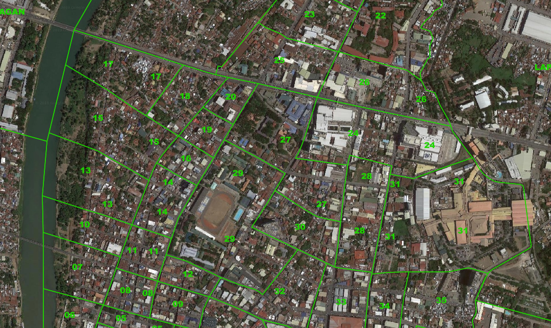
ULIS is a map of the city. But NOT just any map. It starts with a base map you can zoom in and out of. Then it shows exact barangay boundaries, lot parcels, tourism & other facilities, routes, hazard map and what’s more–any part of the map can be downloaded...
Recent Comments